
Midsummer Camp seen from Hillend House
The time of the earliest encampment of Midsummer Hill is debatable, but it is quite plausible that it may have been enhabited prior to the Bronze Age, around 2000B.C., by pre-Aryan man bearing similarities with the Basques or Eskimos. At this time the rolling hills of Herefordshire would have been entirely covered with forest stretching westward to meet the Forest of Dean and as far as the Black Mountains in south Wales. It would have been safer to brave the elements on the exposed peaks of the Malvern ridge than to reside in the dark and unforgiving forests, which in the past would have been the home to many wolves and perhaps even mammoth, cave lion and bears.
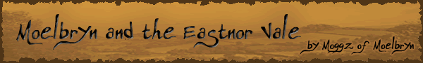
However for the most part the camp would have been inhabited by Celtic Druids or “Ancient Britons” in the Iron Age. There are a number of clearly visible earthworks to this day. The fort ramparts are still clearly visible and encompass the top of both Midsummer Hill and it’s neighbour Hollybush Hill. In various periods of history it has been thought that the camp had a total of four entrances, however it has later been found that the other possible entrances are cut by the path of the Red Earls’ Dyke, made in a later period. There are in fact two gates; the north gate was the chariot gate, and is still clearly visible on the northern slope of Midsummer Hill. This would have been the main access route for those approaching the camp along the ridge of the Malvern Hills.
North Gate seen from the exterior of the rampart

North Gate seen from the interior of the fort
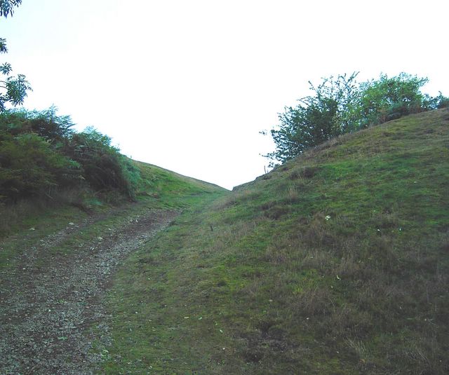
The south gate is situated in a narrow valley between the two hills and would have covered the old road from the Severn. At both of these gates the ramparts turn inward to create a narrow corridor through which attackers would have to pass, adding to their defensive nature. Many slopes on the interior of the fort are terraced and would have been the location of many dwellings. Man made hollows in the ground and sunken trenches from previous archaeological explorations can be seen in various locations across the two hills.
South Gate seen from exterior of the fort
When the Druids took possession of the camp they both rebuilt and enlarged it and called it Dyn Mawr – in Celtic the “Great City”. It is thought that the city itself lay outside of the fort ramparts, lower in the valley below the south gate and in the pass now known as Hollybush. There were two springs to provide water, one within the fort itself and one within the city which would have fed four large reservoirs and dams, signs of which can still be seen today. Estimations at the number of inhabitants in the camp vary from early estimates of “at least 6000 men, entirely leaving out the ‘procestrium’ adjoining”, however later archaeological excavations have led to more believable estimates of between 1150 and 3460.
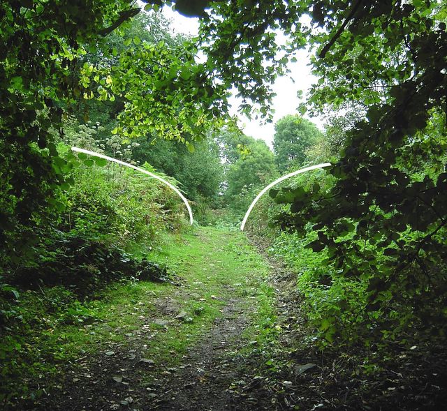
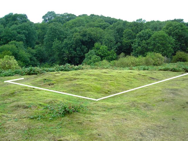
Possible remains of a structure on the peak of Midsummer Hill
Upon the eastern flank of the fort upon Hollybush hill a long rectangular earth mound surrounded by a shallow trench is of debatable origin. Known as the ‘Pillow Mound’ it has been thought by some to be a Roman burial mound, and relics from both the Bronze and Iron Age have been found in excavations. However it is though more likely to have been an artificial rabbit warren constructed in the Medieval era or later.
The Pillow Mound
The Ancient Britons were finally driven out of their encampments by the invading Roman army. It is possible that, having defeated Caractacus the Romans may have advanced southward attacking and finally defeating both the British and Midsummer Camps. These two camps may claim the honour of the last two British strongholds to fall to the Romans.

Western rampart on Midsummer Hill

Eastern rampart on Hollybush Hill

3 comments:
I am told that Hollybush was the name of part of a field prior to about 1900 AD. It's certainly not on OS before that date.
Hi, could you tell me where the refs for Druid occupation of the hills comes from? Great Blog!!
Best books to look at would Rev. HL Somers-Cocks "Eastnor & It's Malvern Hills" or for lot's of technical archaelogical stuff STANFORD, S.C. (1981) "Midsummer Hill an Iron Age hillfort on the Malverns"
Thanks for the compliment.
Post a Comment